10601 postal code
Dominican RepublicUpdated 2026-11-09Constelacion, Postal code
Postal code details
2 placesCode
10601
Place
Constelacion
Region
—
County
—
Coordinates
18.58, -70.6767
Accuracy
1 / 6
Country
Dominican Republic
Location
OpenStreetMap ↗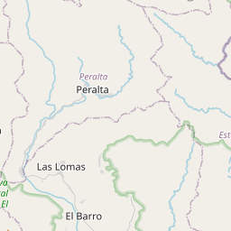
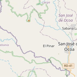
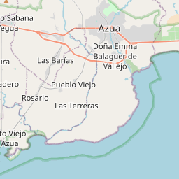
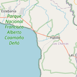
18.58, -70.6767© OpenStreetMap
Ad slot · 300×250
Places under this code
2| Place | Region | County | Coordinates |
|---|---|---|---|
| Constelacion | — | — | 18.58, -70.6767 |
| Los Proceres | — | — | 18.58, -70.6767 |
Same code in other countries
6| Country | Place | Region |
|---|---|---|
| CR Costa Rica | Aserrí | Provincia de San José |
| FI Finland | Tammisaari | Uusimaa |
| FR France | La Chapelle-Saint-Luc | Grand Est |
| PE Peru | Pachas | Huanuco |
| PL Poland | Olsztyn | Warmia-Masuria |
| US United States | White Plains | New York |
FAQ
Which city is 10601 in?
Constelacion, , Dominican Republic.
What are the coordinates of 10601?
18.58, -70.6767
Is 10601 used in other countries?
Yes, 6 other countries.
Updated 2026-11-09. Attribution in Data & license.