10120 postal code
Dominican RepublicUpdated 2026-11-09La Yuca, Postal code
Postal code details
1 placeCode
10120
Place
La Yuca
Region
—
County
—
Coordinates
18.4833, -69.9833
Accuracy
4 / 6
Country
Dominican Republic
Location
OpenStreetMap ↗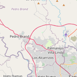
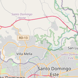
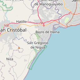
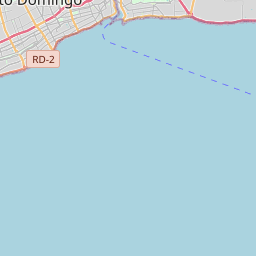
18.4833, -69.9833© OpenStreetMap
Ad slot · 300×250
Places under this code
1| Place | Region | County | Coordinates |
|---|---|---|---|
| La Yuca | — | — | 18.4833, -69.9833 |
Same code in other countries
8| Country | Place | Region |
|---|---|---|
| EE Estonia | Kesklinna | Harju maakond |
| ES Spain | Logrosan | Extremadura |
| FI Finland | Tähtelä | Uusimaa |
| FR France | Laines-aux-Bois | Grand Est |
| ID Indonesia | Kebon Kelapa | Jakarta |
| KR South Korea | 김포시 | 경기도 |
| LK Sri Lanka | Battaramulla | Western Province |
| PE Peru | 3 de Mayo | Huanuco |
FAQ
Which city is 10120 in?
La Yuca, , Dominican Republic.
What are the coordinates of 10120?
18.4833, -69.9833
Is 10120 used in other countries?
Yes, 8 other countries.
Updated 2026-11-09. Attribution in Data & license.