79693 Postleitzahl
MexikoAktualisiert 2026-11-09El Caracol, San Luis PotosíSan Ciro de Acosta5-stellig
PLZ-Details
9 OrtePLZ
79693
Ort
El Caracol
Region
San Luis Potosí
Kreis
San Ciro de Acosta
Koordinaten
21.5819, -99.8228
Genauigkeit
4 / 6
Land
Mexiko
Lage
OpenStreetMap ↗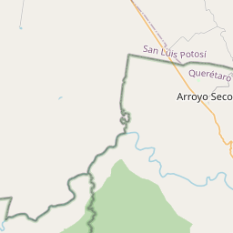
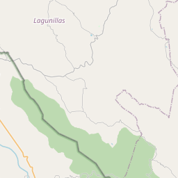
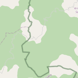
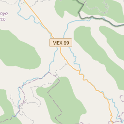
21.5819, -99.8228© OpenStreetMap
Anzeige · 300×250
Orte unter dieser PLZ
9| Ort | Region | Kreis | Koordinaten |
|---|---|---|---|
| El Caracol | San Luis Potosí | San Ciro de Acosta | 21.5819, -99.8228 |
| El Potrero de San Antonio | San Luis Potosí | San Ciro de Acosta | 21.6039, -99.8066 |
| El Órgano | San Luis Potosí | San Ciro de Acosta | 21.5829, -99.7992 |
| La Almarciguera | San Luis Potosí | San Ciro de Acosta | 21.6286, -99.7783 |
| La Ceja | San Luis Potosí | San Ciro de Acosta | 21.6039, -99.8066 |
| La Puerta del Tanque | San Luis Potosí | San Ciro de Acosta | 21.6303, -99.8039 |
| La Trinidad | San Luis Potosí | San Ciro de Acosta | 21.596, -99.8287 |
| Nicolás Tolentino | San Luis Potosí | San Ciro de Acosta | 21.6039, -99.8066 |
| Ninguno [Estación de Teléfonos] | San Luis Potosí | San Ciro de Acosta | 21.6039, -99.8066 |
Gleiche PLZ in anderen Ländern
0Diese PLZ kommt nur in diesem Land vor.
FAQ
In welcher Stadt liegt 79693?
El Caracol, San Luis Potosí, Mexiko.
Welche Koordinaten hat 79693?
21.5819, -99.8228
Wird 79693 auch in anderen Ländern verwendet?
Nein.
Aktualisiert am 2026-11-09. Quellenangabe in Daten & Lizenz.