78448 Postleitzahl
MexikoAktualisiert 2026-11-09Campestre Real del Potosí, San Luis PotosíCerro de San Pedro5-stellig
PLZ-Details
6 OrtePLZ
78448
Ort
Campestre Real del Potosí
Region
San Luis Potosí
Kreis
Cerro de San Pedro
Koordinaten
22.1619, -100.8652
Genauigkeit
3 / 6
Land
Mexiko
Lage
OpenStreetMap ↗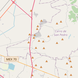
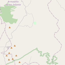
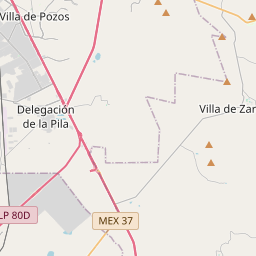
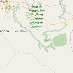
22.1619, -100.8652© OpenStreetMap
Anzeige · 300×250
Orte unter dieser PLZ
6| Ort | Region | Kreis | Koordinaten |
|---|---|---|---|
| Campestre Real del Potosí | San Luis Potosí | Cerro de San Pedro | 22.1619, -100.8652 |
| Granjas de San Francisco | San Luis Potosí | Cerro de San Pedro | 22.1614, -100.8725 |
| Granjas de San Pedro | San Luis Potosí | Cerro de San Pedro | 22.1619, -100.8652 |
| Granjas de la Florida | San Luis Potosí | Cerro de San Pedro | 22.1542, -100.8444 |
| Los Gómez Lado Oriente | San Luis Potosí | Cerro de San Pedro | 22.1619, -100.8652 |
| Planta del Carmen (El Ocho) | San Luis Potosí | Cerro de San Pedro | 22.17, -100.8786 |
Gleiche PLZ in anderen Ländern
0Diese PLZ kommt nur in diesem Land vor.
FAQ
In welcher Stadt liegt 78448?
Campestre Real del Potosí, San Luis Potosí, Mexiko.
Welche Koordinaten hat 78448?
22.1619, -100.8652
Wird 78448 auch in anderen Ländern verwendet?
Nein.
Aktualisiert am 2026-11-09. Quellenangabe in Daten & Lizenz.