75092 Postleitzahl
MexikoAktualisiert 2026-11-09Comalapa, PueblaChichiquila5-stellig
PLZ-Details
8 OrtePLZ
75092
Ort
Comalapa
Region
Puebla
Kreis
Chichiquila
Koordinaten
19.2713, -97.0004
Genauigkeit
4 / 6
Land
Mexiko
Lage
OpenStreetMap ↗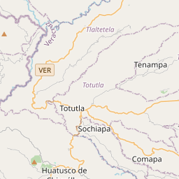

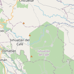
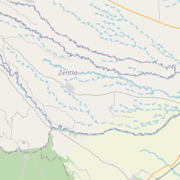
19.2713, -97.0004© OpenStreetMap
Anzeige · 300×250
Orte unter dieser PLZ
8| Ort | Region | Kreis | Koordinaten |
|---|---|---|---|
| Comalapa | Puebla | Chichiquila | 19.2713, -97.0004 |
| Guadalupe | Puebla | Chichiquila | 19.2156, -97.0556 |
| La Providencia | Puebla | Chichiquila | 19.2556, -97.0318 |
| Rinconada | Puebla | Chichiquila | 19.2368, -97.0438 |
| San José de las Flores | Puebla | Chichiquila | 19.256, -97.0051 |
| San Luis Esperanza | Puebla | Chichiquila | 19.2236, -97.044 |
| Santiago | Puebla | Chichiquila | 19.2549, -97.0374 |
| Xochimilco | Puebla | Chichiquila | 19.2069, -97.1044 |
FAQ
In welcher Stadt liegt 75092?
Comalapa, Puebla, Mexiko.
Welche Koordinaten hat 75092?
19.2713, -97.0004
Wird 75092 auch in anderen Ländern verwendet?
Ja, in 2 weiteren Ländern.
Aktualisiert am 2026-11-09. Quellenangabe in Daten & Lizenz.