67134 Postleitzahl
MexikoAktualisiert 2026-11-09Arboledas de Santa Cecilia, Nuevo LeónGuadalupe5-stellig
PLZ-Details
5 OrtePLZ
67134
Ort
Arboledas de Santa Cecilia
Region
Nuevo León
Kreis
Guadalupe
Koordinaten
25.7202, -100.2135
Genauigkeit
1 / 6
Land
Mexiko
Lage
OpenStreetMap ↗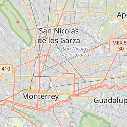

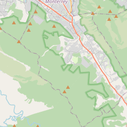
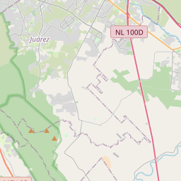
25.7202, -100.2135© OpenStreetMap
Anzeige · 300×250
Orte unter dieser PLZ
5| Ort | Region | Kreis | Koordinaten |
|---|---|---|---|
| Arboledas de Santa Cecilia | Nuevo León | Guadalupe | 25.7202, -100.2135 |
| Dos Ríos | Nuevo León | Guadalupe | 25.6726, -100.2057 |
| Privada San Carlos | Nuevo León | Guadalupe | 25.7202, -100.2135 |
| Riberas de Dos Ríos | Nuevo León | Guadalupe | 25.7202, -100.2135 |
| Santa Clara | Nuevo León | Guadalupe | 25.6726, -100.2057 |
Gleiche PLZ in anderen Ländern
6| Land | Ort | Region |
|---|---|---|
| CZ Tschechien | Domčice | Jihomoravský kraj |
| DE Deutschland | Birkenheide | Rheinland-Pfalz |
| ID Indonesien | Gadingrejo | Jawa Timur |
| SE Schweden | Arvika | Värmland |
| UA Ukraine | Великозименове (Великозименівська сільська рада) | Odeska |
| US Vereinigte Staaten | Sawyer | Kansas |
FAQ
In welcher Stadt liegt 67134?
Arboledas de Santa Cecilia, Nuevo León, Mexiko.
Welche Koordinaten hat 67134?
25.7202, -100.2135
Wird 67134 auch in anderen Ländern verwendet?
Ja, in 6 weiteren Ländern.
Aktualisiert am 2026-11-09. Quellenangabe in Daten & Lizenz.