60484 Postleitzahl
MexikoAktualisiert 2026-11-09El Chilar, Michoacán de OcampoTancítaro5-stellig
PLZ-Details
12 OrtePLZ
60484
Ort
El Chilar
Region
Michoacán de Ocampo
Kreis
Tancítaro
Koordinaten
19.2431, -102.26
Genauigkeit
4 / 6
Land
Mexiko
Lage
OpenStreetMap ↗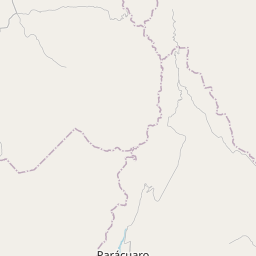
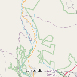
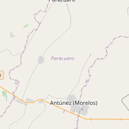

19.2431, -102.26© OpenStreetMap
Anzeige · 300×250
Orte unter dieser PLZ
12| Ort | Region | Kreis | Koordinaten |
|---|---|---|---|
| El Chilar | Michoacán de Ocampo | Tancítaro | 19.2431, -102.26 |
| El Cortijo | Michoacán de Ocampo | Tancítaro | 19.2983, -102.2167 |
| El Granado | Michoacán de Ocampo | Tancítaro | 19.2539, -102.2594 |
| El Zapote | Michoacán de Ocampo | Tancítaro | 19.3042, -102.2261 |
| Huerta el Puerto | Michoacán de Ocampo | Tancítaro | 19.2894, -102.2611 |
| Huerta la Soledad | Michoacán de Ocampo | Tancítaro | 19.2697, -102.2706 |
| La Alberca | Michoacán de Ocampo | Tancítaro | 19.2468, -102.2608 |
| La Cañada | Michoacán de Ocampo | Tancítaro | 19.2542, -102.2664 |
| Los Llanitos | Michoacán de Ocampo | Tancítaro | 19.2525, -102.2292 |
| Los Llanitos (El Chupadero) | Michoacán de Ocampo | Tancítaro | 19.2671, -102.2531 |
| Piedras Azules | Michoacán de Ocampo | Tancítaro | 19.255, -102.2772 |
| Púcuaro | Michoacán de Ocampo | Tancítaro | 19.271, -102.2564 |
Gleiche PLZ in anderen Ländern
3| Land | Ort | Region |
|---|---|---|
| DE Deutschland | Airtours International | Hessen |
| LK Sri Lanka | Meewellawa | North Western Province |
| US Vereinigte Staaten | University Park | Illinois |
FAQ
In welcher Stadt liegt 60484?
El Chilar, Michoacán de Ocampo, Mexiko.
Welche Koordinaten hat 60484?
19.2431, -102.26
Wird 60484 auch in anderen Ländern verwendet?
Ja, in 3 weiteren Ländern.
Aktualisiert am 2026-11-09. Quellenangabe in Daten & Lizenz.