60477 Postleitzahl
MexikoAktualisiert 2026-11-09Apúndaro, Michoacán de OcampoTancítaro5-stellig
PLZ-Details
9 OrtePLZ
60477
Ort
Apúndaro
Region
Michoacán de Ocampo
Kreis
Tancítaro
Koordinaten
19.3513, -102.4286
Genauigkeit
4 / 6
Land
Mexiko
Lage
OpenStreetMap ↗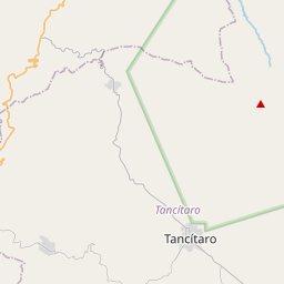
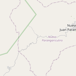
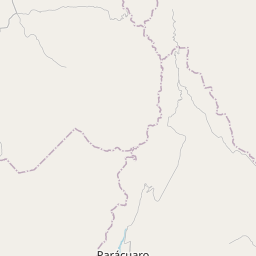
19.3513, -102.4286© OpenStreetMap
Anzeige · 300×250
Orte unter dieser PLZ
9| Ort | Region | Kreis | Koordinaten |
|---|---|---|---|
| Apúndaro | Michoacán de Ocampo | Tancítaro | 19.3513, -102.4286 |
| Chirimoyo | Michoacán de Ocampo | Tancítaro | 19.3731, -102.44 |
| Coronita | Michoacán de Ocampo | Tancítaro | 19.3672, -102.4808 |
| El Hueso | Michoacán de Ocampo | Tancítaro | 19.38, -102.4831 |
| El Llano | Michoacán de Ocampo | Tancítaro | 19.3716, -102.4702 |
| Huaricho | Michoacán de Ocampo | Tancítaro | 19.38, -102.4564 |
| Joyas del Maguey | Michoacán de Ocampo | Tancítaro | 19.37, -102.4356 |
| La Uva | Michoacán de Ocampo | Tancítaro | 19.3467, -102.4186 |
| Pancinda | Michoacán de Ocampo | Tancítaro | 19.3572, -102.4003 |
Gleiche PLZ in anderen Ländern
3| Land | Ort | Region |
|---|---|---|
| FR Frankreich | Compiègne | Hauts-de-France |
| LK Sri Lanka | Hulugalla | North Western Province |
| US Vereinigte Staaten | Tinley Park | Illinois |
FAQ
In welcher Stadt liegt 60477?
Apúndaro, Michoacán de Ocampo, Mexiko.
Welche Koordinaten hat 60477?
19.3513, -102.4286
Wird 60477 auch in anderen Ländern verwendet?
Ja, in 3 weiteren Ländern.
Aktualisiert am 2026-11-09. Quellenangabe in Daten & Lizenz.