54227 Postleitzahl
MexikoAktualisiert 2026-11-09Cerro Gordo, MéxicoPolotitlán5-stellig
PLZ-Details
3 OrtePLZ
54227
Ort
Cerro Gordo
Region
México
Kreis
Polotitlán
Koordinaten
20.2347, -99.8036
Genauigkeit
4 / 6
Land
Mexiko
Lage
OpenStreetMap ↗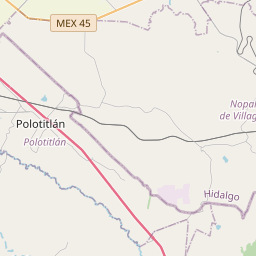
20.2347, -99.8036© OpenStreetMap
Anzeige · 300×250
Orte unter dieser PLZ
3| Ort | Region | Kreis | Koordinaten |
|---|---|---|---|
| Cerro Gordo | México | Polotitlán | 20.2347, -99.8036 |
| Estación Polotitlán (Casas Viejas) | México | Polotitlán | 20.2318, -99.8068 |
| Satélite | México | Polotitlán | 20.2289, -99.8099 |
Gleiche PLZ in anderen Ländern
2| Land | Ort | Region |
|---|---|---|
| CZ Tschechien | Dolní Malá Úpa | Královéhradecký kraj |
| US Vereinigte Staaten | Maribel | Wisconsin |
FAQ
In welcher Stadt liegt 54227?
Cerro Gordo, México, Mexiko.
Welche Koordinaten hat 54227?
20.2347, -99.8036
Wird 54227 auch in anderen Ländern verwendet?
Ja, in 2 weiteren Ländern.
Aktualisiert am 2026-11-09. Quellenangabe in Daten & Lizenz.