50736 Postleitzahl
MexikoAktualisiert 2026-11-09Ex-Hacienda San José Villeje, MéxicoJocotitlán5-stellig
PLZ-Details
9 OrtePLZ
50736
Ort
Ex-Hacienda San José Villeje
Region
México
Kreis
Jocotitlán
Koordinaten
19.7253, -99.8288
Genauigkeit
3 / 6
Land
Mexiko
Lage
OpenStreetMap ↗
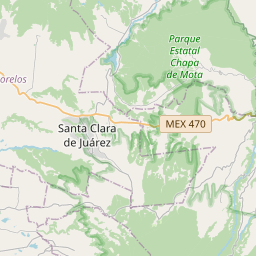
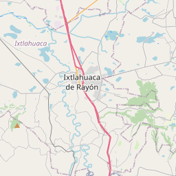
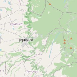
19.7253, -99.8288© OpenStreetMap
Anzeige · 300×250
Orte unter dieser PLZ
9| Ort | Region | Kreis | Koordinaten |
|---|---|---|---|
| Ex-Hacienda San José Villeje | México | Jocotitlán | 19.7253, -99.8288 |
| La Era | México | Jocotitlán | 19.7174, -99.8235 |
| La Manga | México | Jocotitlán | 19.7369, -99.8481 |
| La Tenería | México | Jocotitlán | 19.6936, -99.7919 |
| Mavoro | México | Jocotitlán | 19.7042, -99.8222 |
| Ojo de Agua | México | Jocotitlán | 19.7286, -99.8425 |
| Santa Mónica Caspu | México | Jocotitlán | 19.7253, -99.8288 |
| Siffari | México | Jocotitlán | 19.7433, -99.8262 |
| Zacualpan | México | Jocotitlán | 19.7453, -99.8419 |
Gleiche PLZ in anderen Ländern
2| Land | Ort | Region |
|---|---|---|
| ID Indonesien | Cebongan | Provinsi Jawa Tengah |
| MY Malaysia | Kuala Lumpur | Kuala Lumpur |
FAQ
In welcher Stadt liegt 50736?
Ex-Hacienda San José Villeje, México, Mexiko.
Welche Koordinaten hat 50736?
19.7253, -99.8288
Wird 50736 auch in anderen Ländern verwendet?
Ja, in 2 weiteren Ländern.
Aktualisiert am 2026-11-09. Quellenangabe in Daten & Lizenz.