50653 Postleitzahl
MexikoAktualisiert 2026-11-09El Agostadero Ejido de San Juan Jalpa, MéxicoSan Felipe del Progreso5-stellig
PLZ-Details
8 OrtePLZ
50653
Ort
El Agostadero Ejido de San Juan Jalpa
Region
México
Kreis
San Felipe del Progreso
Koordinaten
19.7115, -99.9234
Genauigkeit
4 / 6
Land
Mexiko
Lage
OpenStreetMap ↗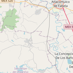

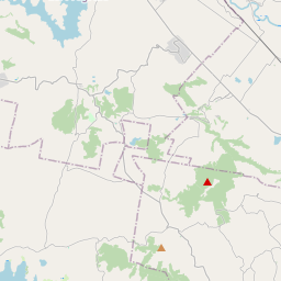
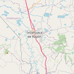
19.7115, -99.9234© OpenStreetMap
Anzeige · 300×250
Orte unter dieser PLZ
8| Ort | Region | Kreis | Koordinaten |
|---|---|---|---|
| El Agostadero Ejido de San Juan Jalpa | México | San Felipe del Progreso | 19.7115, -99.9234 |
| Flor de María | México | San Felipe del Progreso | 19.7244, -99.9055 |
| Guadalupe | México | San Felipe del Progreso | 19.7166, -99.922 |
| La Cabecera | México | San Felipe del Progreso | 19.7166, -99.922 |
| La Esperanza | México | San Felipe del Progreso | 19.7361, -99.9369 |
| San Isidro Nenaxi | México | San Felipe del Progreso | 19.7166, -99.922 |
| San Juan Jalpa Centro | México | San Felipe del Progreso | 19.6981, -99.93 |
| Tunal Nenaxi | México | San Felipe del Progreso | 19.713, -99.9141 |
Gleiche PLZ in anderen Ländern
3| Land | Ort | Region |
|---|---|---|
| KR Südkorea | 물금읍 | 경상남도 |
| MY Malaysia | Kuala Lumpur | Kuala Lumpur |
| US Vereinigte Staaten | Marble Rock | Iowa |
FAQ
In welcher Stadt liegt 50653?
El Agostadero Ejido de San Juan Jalpa, México, Mexiko.
Welche Koordinaten hat 50653?
19.7115, -99.9234
Wird 50653 auch in anderen Ländern verwendet?
Ja, in 3 weiteren Ländern.
Aktualisiert am 2026-11-09. Quellenangabe in Daten & Lizenz.