43615 Postleitzahl
MexikoAktualisiert 2026-11-09Hidalgo Unido, HidalgoTulancingo de Bravo5-stellig
PLZ-Details
5 OrtePLZ
43615
Ort
Hidalgo Unido
Region
Hidalgo
Kreis
Tulancingo de Bravo
Koordinaten
20.1056, -98.3538
Genauigkeit
4 / 6
Land
Mexiko
Lage
OpenStreetMap ↗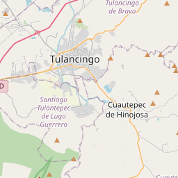
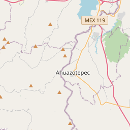
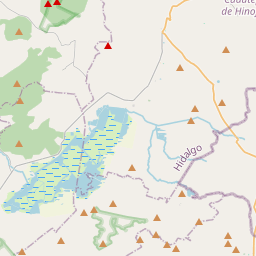
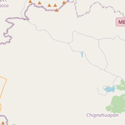
20.1056, -98.3538© OpenStreetMap
Anzeige · 300×250
Orte unter dieser PLZ
5| Ort | Region | Kreis | Koordinaten |
|---|---|---|---|
| Hidalgo Unido | Hidalgo | Tulancingo de Bravo | 20.1056, -98.3538 |
| La Cañada | Hidalgo | Tulancingo de Bravo | 20.1236, -98.3509 |
| La Central | Hidalgo | Tulancingo de Bravo | 20.1056, -98.3538 |
| Lomas de Progreso | Hidalgo | Tulancingo de Bravo | 20.1056, -98.3538 |
| Villas de la Cañada | Hidalgo | Tulancingo de Bravo | 20.1056, -98.3538 |
Gleiche PLZ in anderen Ländern
1| Land | Ort | Region |
|---|---|---|
| US Vereinigte Staaten | Toledo | Ohio |
FAQ
In welcher Stadt liegt 43615?
Hidalgo Unido, Hidalgo, Mexiko.
Welche Koordinaten hat 43615?
20.1056, -98.3538
Wird 43615 auch in anderen Ländern verwendet?
Ja, in 1 weiteren Ländern.
Aktualisiert am 2026-11-09. Quellenangabe in Daten & Lizenz.