43310 Postleitzahl
MexikoAktualisiert 2026-11-09Cerro Colorado, HidalgoAtotonilco el Grande5-stellig
PLZ-Details
6 OrtePLZ
43310
Ort
Cerro Colorado
Region
Hidalgo
Kreis
Atotonilco el Grande
Koordinaten
20.4075, -98.7181
Genauigkeit
4 / 6
Land
Mexiko
Lage
OpenStreetMap ↗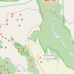
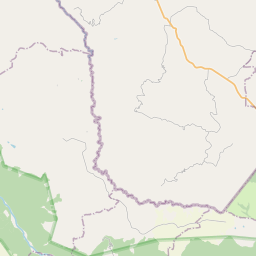
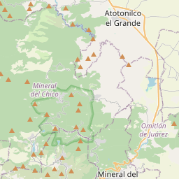
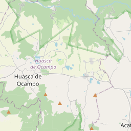
20.4075, -98.7181© OpenStreetMap
Anzeige · 300×250
Orte unter dieser PLZ
6| Ort | Region | Kreis | Koordinaten |
|---|---|---|---|
| Cerro Colorado | Hidalgo | Atotonilco el Grande | 20.4075, -98.7181 |
| Coyula | Hidalgo | Atotonilco el Grande | 20.4031, -98.7306 |
| El Zoquital | Hidalgo | Atotonilco el Grande | 20.3687, -98.73 |
| San Nicolás Xathé | Hidalgo | Atotonilco el Grande | 20.3933, -98.7448 |
| Sanctórum | Hidalgo | Atotonilco el Grande | 20.302, -98.7825 |
| Santa María Amajac | Hidalgo | Atotonilco el Grande | 20.3248, -98.7436 |
Gleiche PLZ in anderen Ländern
4| Land | Ort | Region |
|---|---|---|
| EE Estland | Voorepera | Ida-Viru maakond |
| ES Spanien | Colldejou | Cataluna |
| PL Polen | Bielsko-Biała | Silesia |
| US Vereinigte Staaten | Belle Center | Ohio |
FAQ
In welcher Stadt liegt 43310?
Cerro Colorado, Hidalgo, Mexiko.
Welche Koordinaten hat 43310?
20.4075, -98.7181
Wird 43310 auch in anderen Ländern verwendet?
Ja, in 4 weiteren Ländern.
Aktualisiert am 2026-11-09. Quellenangabe in Daten & Lizenz.