
Mexiko
38430 Postleitzahl
PLZ-Details
5 OrtePLZ
Ort
Colonia de Guadalupe (Guadalupe de Copales)
Region
Guanajuato
Kreis
Valle de Santiago
Koordinaten
20.3581, -101.3193
Genauigkeit
4 / 6
Land
Mexiko
Lage
OpenStreetMap ↗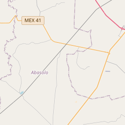
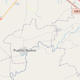
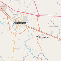
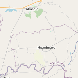
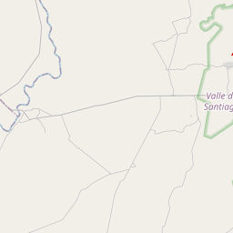
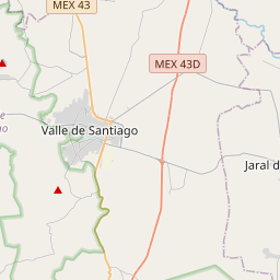
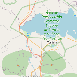
20.3581, -101.3193© OpenStreetMap
Orte unter dieser PLZ
5| Ort | Region | Kreis | Koordinaten |
|---|---|---|---|
| Colonia de Guadalupe (Guadalupe de Copales) | Guanajuato | Valle de Santiago | 20.3581, -101.3193 |
| Granja Solís (El Paraíso) | Guanajuato | Valle de Santiago | 20.3983, -101.3017 |
| Loma Tendida | Guanajuato | Valle de Santiago | 20.3756, -101.3106 |
| Presa de San Andrés | Guanajuato | Valle de Santiago | 20.3792, -101.2764 |
| Rancho Nuevo de San Andrés | Guanajuato | Valle de Santiago | 20.3772, -101.2839 |
Gleiche PLZ in anderen Ländern
6FAQ
In welcher Stadt liegt 38430?
Colonia de Guadalupe (Guadalupe de Copales), Guanajuato, Mexiko.
Welche Koordinaten hat 38430?
20.3581, -101.3193
Wird 38430 auch in anderen Ländern verwendet?
Ja, in 6 weiteren Ländern.