37924 Postleitzahl
MexikoAktualisiert 2026-11-09Derramaderos, GuanajuatoVictoria5-stellig
PLZ-Details
12 OrtePLZ
37924
Ort
Derramaderos
Region
Guanajuato
Kreis
Victoria
Koordinaten
21.3585, -100.1378
Genauigkeit
4 / 6
Land
Mexiko
Lage
OpenStreetMap ↗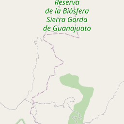
21.3585, -100.1378© OpenStreetMap
Anzeige · 300×250
Orte unter dieser PLZ
12| Ort | Region | Kreis | Koordinaten |
|---|---|---|---|
| Derramaderos | Guanajuato | Victoria | 21.3585, -100.1378 |
| El Jaralito | Guanajuato | Victoria | 21.3736, -100.1939 |
| El Obispo (San Martín del Obispo) | Guanajuato | Victoria | 21.4069, -100.1544 |
| La Joya Fría | Guanajuato | Victoria | 21.3906, -100.1451 |
| La Lagunita | Guanajuato | Victoria | 21.4489, -100.1178 |
| Las Naranjas | Guanajuato | Victoria | 21.4505, -100.1308 |
| Palo Seco | Guanajuato | Victoria | 21.3408, -100.1708 |
| Piedra Gorda | Guanajuato | Victoria | 21.3842, -100.1953 |
| Pozo Hondo | Guanajuato | Victoria | 21.366, -100.2146 |
| Puerto de Palmas | Guanajuato | Victoria | 21.366, -100.2146 |
| San Isidro de las Palmas | Guanajuato | Victoria | 21.4597, -100.1067 |
| San Jerónimo (El Llanito) | Guanajuato | Victoria | 21.3603, -100.1658 |
FAQ
In welcher Stadt liegt 37924?
Derramaderos, Guanajuato, Mexiko.
Welche Koordinaten hat 37924?
21.3585, -100.1378
Wird 37924 auch in anderen Ländern verwendet?
Ja, in 3 weiteren Ländern.
Aktualisiert am 2026-11-09. Quellenangabe in Daten & Lizenz.