36969 Postleitzahl
MexikoAktualisiert 2026-11-09El Rincón, GuanajuatoCuerámaro5-stellig
PLZ-Details
18 OrtePLZ
36969
Ort
El Rincón
Region
Guanajuato
Kreis
Cuerámaro
Koordinaten
20.6597, -101.7325
Genauigkeit
4 / 6
Land
Mexiko
Lage
OpenStreetMap ↗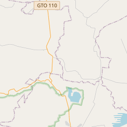
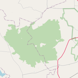
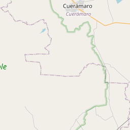
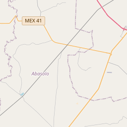
20.6597, -101.7325© OpenStreetMap
Anzeige · 300×250
Orte unter dieser PLZ
18| Ort | Region | Kreis | Koordinaten |
|---|---|---|---|
| El Rincón | Guanajuato | Cuerámaro | 20.6597, -101.7325 |
| El Roble | Guanajuato | Cuerámaro | 20.6656, -101.7242 |
| El Rodeo | Guanajuato | Cuerámaro | 20.6152, -101.6681 |
| El Saucillo | Guanajuato | Cuerámaro | 20.6951, -101.7102 |
| Familia López Gutiérrez | Guanajuato | Cuerámaro | 20.6883, -101.7078 |
| La Batalla | Guanajuato | Cuerámaro | 20.6783, -101.6953 |
| La Granja del Carmen | Guanajuato | Cuerámaro | 20.673, -101.7038 |
| La Palma | Guanajuato | Cuerámaro | 20.6503, -101.68 |
| La Sabina | Guanajuato | Cuerámaro | 20.6606, -101.7408 |
| La Soledad (La Palanca) | Guanajuato | Cuerámaro | 20.6872, -101.6419 |
| Los Maciel (Los Ángeles) | Guanajuato | Cuerámaro | 20.673, -101.7038 |
| Los Ochenta (El Progreso) | Guanajuato | Cuerámaro | 20.6819, -101.6931 |
| Los Ángeles | Guanajuato | Cuerámaro | 20.6152, -101.6681 |
| San Antonio | Guanajuato | Cuerámaro | 20.6152, -101.6681 |
| San José de la Esperanza | Guanajuato | Cuerámaro | 20.685, -101.7053 |
| San José de la Esperanza [La Bodega] | Guanajuato | Cuerámaro | 20.685, -101.7053 |
| San Juan de los López | Guanajuato | Cuerámaro | 20.6428, -101.6781 |
| Santa Lucía | Guanajuato | Cuerámaro | 20.6689, -101.7356 |
Gleiche PLZ in anderen Ländern
2| Land | Ort | Region |
|---|---|---|
| ES Spanien | Carabuxeira, A (Padriñan) | Galicia |
| KR Südkorea | 문경시 | 경상북도 |
FAQ
In welcher Stadt liegt 36969?
El Rincón, Guanajuato, Mexiko.
Welche Koordinaten hat 36969?
20.6597, -101.7325
Wird 36969 auch in anderen Ländern verwendet?
Ja, in 2 weiteren Ländern.
Aktualisiert am 2026-11-09. Quellenangabe in Daten & Lizenz.