36946 Postleitzahl
MexikoAktualisiert 2026-11-09Castillo de Villaseñor, GuanajuatoPénjamo5-stellig
PLZ-Details
15 OrtePLZ
36946
Ort
Castillo de Villaseñor
Region
Guanajuato
Kreis
Pénjamo
Koordinaten
20.2817, -101.845
Genauigkeit
4 / 6
Land
Mexiko
Lage
OpenStreetMap ↗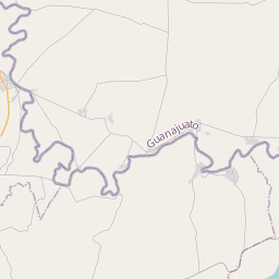
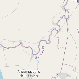
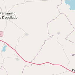
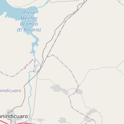
20.2817, -101.845© OpenStreetMap
Anzeige · 300×250
Orte unter dieser PLZ
15| Ort | Region | Kreis | Koordinaten |
|---|---|---|---|
| Castillo de Villaseñor | Guanajuato | Pénjamo | 20.2817, -101.845 |
| Charcos de Paúl | Guanajuato | Pénjamo | 20.3206, -101.7558 |
| Cruces de Morales | Guanajuato | Pénjamo | 20.2853, -101.7514 |
| Cuevas de Morales | Guanajuato | Pénjamo | 20.2933, -101.8432 |
| El Infiernillo | Guanajuato | Pénjamo | 20.2691, -101.8426 |
| Independencia | Guanajuato | Pénjamo | 20.2247, -101.8219 |
| La Paz | Guanajuato | Pénjamo | 20.2274, -101.8326 |
| La Rosa (De Cruces de Morales) | Guanajuato | Pénjamo | 20.2706, -101.7933 |
| Lomita de Navarro | Guanajuato | Pénjamo | 20.3222, -101.7406 |
| Ojo de Agua del Moro | Guanajuato | Pénjamo | 20.2536, -101.815 |
| San Ignacio de Álvarez | Guanajuato | Pénjamo | 20.2686, -101.8278 |
| San Marcos | Guanajuato | Pénjamo | 20.2291, -101.8279 |
| Santa Teresa de Morales | Guanajuato | Pénjamo | 20.3122, -101.8014 |
| Tacuba | Guanajuato | Pénjamo | 20.2906, -101.8144 |
| Tepamal de Pimentel | Guanajuato | Pénjamo | 20.2833, -101.7544 |
Gleiche PLZ in anderen Ländern
2| Land | Ort | Region |
|---|---|---|
| ES Spanien | Gandon (Aldan - Cangas) | Galicia |
| KR Südkorea | 문경시 | 경상북도 |
FAQ
In welcher Stadt liegt 36946?
Castillo de Villaseñor, Guanajuato, Mexiko.
Welche Koordinaten hat 36946?
20.2817, -101.845
Wird 36946 auch in anderen Ländern verwendet?
Ja, in 2 weiteren Ländern.
Aktualisiert am 2026-11-09. Quellenangabe in Daten & Lizenz.