
Mexiko
36945 Postleitzahl
PLZ-Details
18 OrtePLZ
Ort
Abraham Martínez (Colonia las Flores)
Region
Guanajuato
Kreis
Pénjamo
Koordinaten
20.2322, -101.8975
Genauigkeit
4 / 6
Land
Mexiko
Lage
OpenStreetMap ↗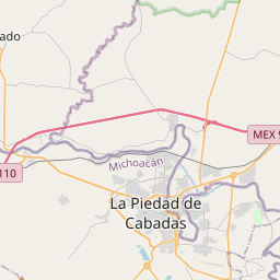
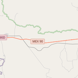
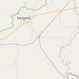
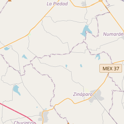
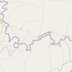
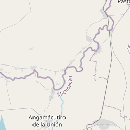
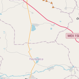
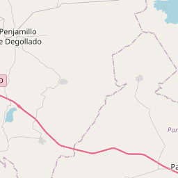
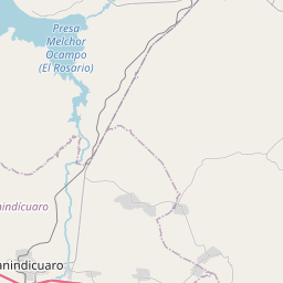
20.2322, -101.8975© OpenStreetMap
Orte unter dieser PLZ
18| Ort | Region | Kreis | Koordinaten |
|---|---|---|---|
| Abraham Martínez (Colonia las Flores) | Guanajuato | Pénjamo | 20.2322, -101.8975 |
| Casas Chicas | Guanajuato | Pénjamo | 20.2475, -101.9319 |
| Cerritos Blancos | Guanajuato | Pénjamo | 20.2375, -101.9013 |
| Corrales de Rábago | Guanajuato | Pénjamo | 20.2142, -101.8593 |
| Del Cerro | Guanajuato | Pénjamo | 20.2396, -101.8893 |
| El Avispero | Guanajuato | Pénjamo | 20.235, -101.8608 |
| El Caracol | Guanajuato | Pénjamo | 20.2511, -101.8669 |
| El Cerro | Guanajuato | Pénjamo | 20.2336, -101.8831 |
| El Tarengo | Guanajuato | Pénjamo | 20.2431, -101.8514 |
| Hacienda del Carmen | Guanajuato | Pénjamo | 20.2042, -101.9029 |
| Huandarillo | Guanajuato | Pénjamo | 20.2044, -101.8753 |
| La Huerta de Huandarillo | Guanajuato | Pénjamo | 20.2396, -101.8893 |
| La Puerta del Rincón | Guanajuato | Pénjamo | 20.1992, -101.8819 |
| La Soledad | Guanajuato | Pénjamo | 20.3844, -101.8786 |
| San Antonio Casa Chica | Guanajuato | Pénjamo | 20.2428, -101.9317 |
| San Isidro del Carmen | Guanajuato | Pénjamo | 20.22, -101.9167 |
| San Rafael de la Angostura | Guanajuato | Pénjamo | 20.2269, -101.9386 |
| Veredas | Guanajuato | Pénjamo | 20.2574, -101.851 |
Gleiche PLZ in anderen Ländern
2| Land | Ort | Region |
|---|---|---|
| ES Spanien | Aldan (Cangas) | Galicia |
| KR Südkorea | 문경시 | 경상북도 |
FAQ
In welcher Stadt liegt 36945?
Abraham Martínez (Colonia las Flores), Guanajuato, Mexiko.
Welche Koordinaten hat 36945?
20.2322, -101.8975
Wird 36945 auch in anderen Ländern verwendet?
Ja, in 2 weiteren Ländern.