30795 Postleitzahl
MexikoAktualisiert 2026-11-09Emiliano Zapata, ChiapasTapachula5-stellig
PLZ-Details
10 OrtePLZ
30795
Ort
Emiliano Zapata
Region
Chiapas
Kreis
Tapachula
Koordinaten
15.1093, -92.2784
Genauigkeit
4 / 6
Land
Mexiko
Lage
OpenStreetMap ↗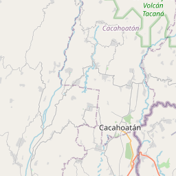
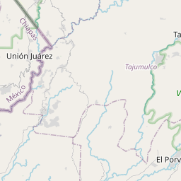
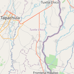
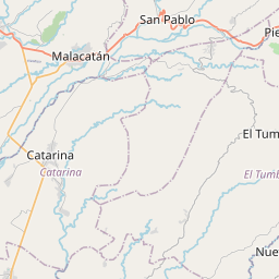
15.1093, -92.2784© OpenStreetMap
Anzeige · 300×250
Orte unter dieser PLZ
10| Ort | Region | Kreis | Koordinaten |
|---|---|---|---|
| Emiliano Zapata | Chiapas | Tapachula | 15.1093, -92.2784 |
| Esquipulas II | Chiapas | Tapachula | 14.9616, -92.282 |
| Los Amates | Chiapas | Tapachula | 14.8878, -92.2717 |
| Los Claveles | Chiapas | Tapachula | 14.9339, -92.3048 |
| Los Limones | Chiapas | Tapachula | 15.1742, -92.3036 |
| Pedregal San Ángel | Chiapas | Tapachula | 14.9057, -92.282 |
| Pobres Unidos | Chiapas | Tapachula | 14.8858, -92.2994 |
| Teofilo Acebo | Chiapas | Tapachula | 14.8859, -92.2688 |
| Villa las Flores | Chiapas | Tapachula | 14.8825, -92.27 |
| Villa las Flores II | Chiapas | Tapachula | 14.9616, -92.282 |
Gleiche PLZ in anderen Ländern
0Diese PLZ kommt nur in diesem Land vor.
FAQ
In welcher Stadt liegt 30795?
Emiliano Zapata, Chiapas, Mexiko.
Welche Koordinaten hat 30795?
15.1093, -92.2784
Wird 30795 auch in anderen Ländern verwendet?
Nein.
Aktualisiert am 2026-11-09. Quellenangabe in Daten & Lizenz.