20179 Postleitzahl
MexikoAktualisiert 2026-11-09Cerro Alto, AguascalientesAguascalientes5-stellig
PLZ-Details
8 OrtePLZ
20179
Ort
Cerro Alto
Region
Aguascalientes
Kreis
Aguascalientes
Koordinaten
22.0371, -102.2511
Genauigkeit
3 / 6
Land
Mexiko
Lage
OpenStreetMap ↗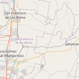
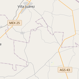
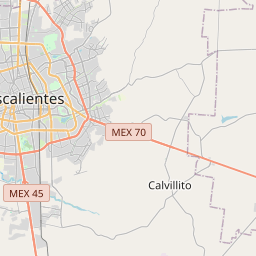
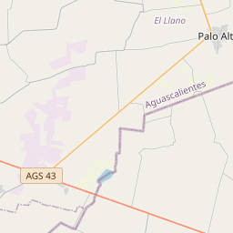
22.0371, -102.2511© OpenStreetMap
Anzeige · 300×250
Orte unter dieser PLZ
8| Ort | Region | Kreis | Koordinaten |
|---|---|---|---|
| Cerro Alto | Aguascalientes | Aguascalientes | 22.0371, -102.2511 |
| Las Cumbres | Aguascalientes | Aguascalientes | 21.9073, -102.2535 |
| Las Cumbres II | Aguascalientes | Aguascalientes | 22.0371, -102.2511 |
| Luis Ortega Douglas | Aguascalientes | Aguascalientes | 22.0371, -102.2511 |
| Pensadores Mexicanos | Aguascalientes | Aguascalientes | 22.0371, -102.2511 |
| Pintores Mexicanos | Aguascalientes | Aguascalientes | 22.0371, -102.2511 |
| Progreso | Aguascalientes | Aguascalientes | 21.8115, -102.2957 |
| Santa Margarita | Aguascalientes | Aguascalientes | 22.0371, -102.2511 |
Gleiche PLZ in anderen Ländern
1| Land | Ort | Region |
|---|---|---|
| FR Frankreich | Ajaccio | Corse |
FAQ
In welcher Stadt liegt 20179?
Cerro Alto, Aguascalientes, Mexiko.
Welche Koordinaten hat 20179?
22.0371, -102.2511
Wird 20179 auch in anderen Ländern verwendet?
Ja, in 1 weiteren Ländern.
Aktualisiert am 2026-11-09. Quellenangabe in Daten & Lizenz.